Attached files
| file | filename |
|---|---|
| 8-K - CURRENT REPORT - Geospatial Corp | gsph-8k_013117.htm |
Exhibit 99.1
Geospatial Corporation (OTCQB: GSPH) Releases
Strategic Market Positioning Presentation
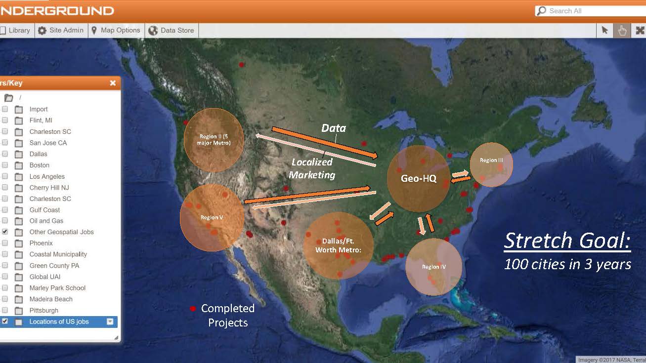
PITTSBURGH, PA (January 31, 2017) - Geospatial Corporation (OTCQB Symbol GSPH) a leading innovator of asset management/analytics/mapping software and 3D mapping technologies, delivers Turnkey 3-D Geospatial Locational Data, Information Technology, Software and Program Management Services that provide a scalable solution to improve our client’s ability to securely, accurately and economically map and manage our global underground infrastructure including energy pipelines, sewers, water lines, conduits, and cables.
Together with our mobile, intuitive GeoUnderground GIS Platform, we build long-term alliances with our customers in providing the right solutions that bring success to your infrastructure management goals. Let us become your Underground Infrastructure Asset Management Solution provider.
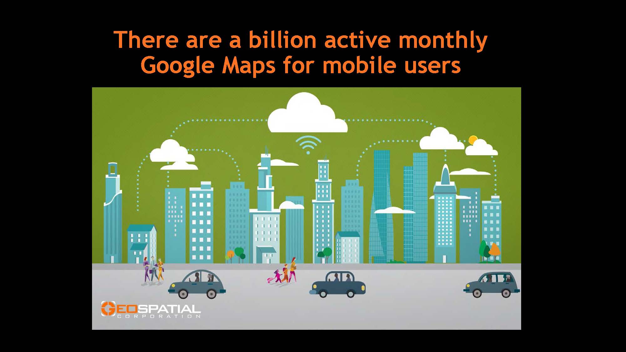
As a Google Cloud Partner -Technology Track, Geospatial is planning, in a joint effort with Google, a nationwide launch of GeoUnderground and a national marketing program. We will be scheduling joint Google/Geospatial webinars to run in the first quarter of 2017. Geospatial will have access to Google’s global marketing opportunities and global reseller organizations.
Unlike mapping above ground infrastructure, mapping the underground presents unique challenges to accurately and economically collect underground data in 3D providing both pipeline position and depth (xy&z). Geospatial attempts to develop mapping programs that provide positional accuracy to approximately 4 inches (10cm) in both location and depth.
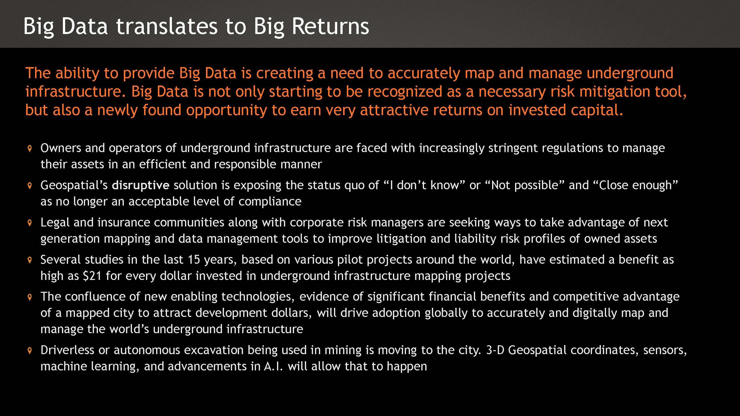
To accomplish our goal of ‘Mapping Our Global Underground Infrastructure’, Geospatial is constantly seeking out and evaluating Emerging Technologies involving new sensors, software integrations and state of the art data acquisition platforms such as in-pipe robotics, un-manned aerial vehicles, augmented reality vision, and low-altitude satellite systems integrated with electromagnetic, thermal and combinations of sensors to accurately view, locate and map various types of buried infrastructure including critical pipeline leaks and other condition analytics. All critical data necessary to Managing the World’s Underground Infrastructure.
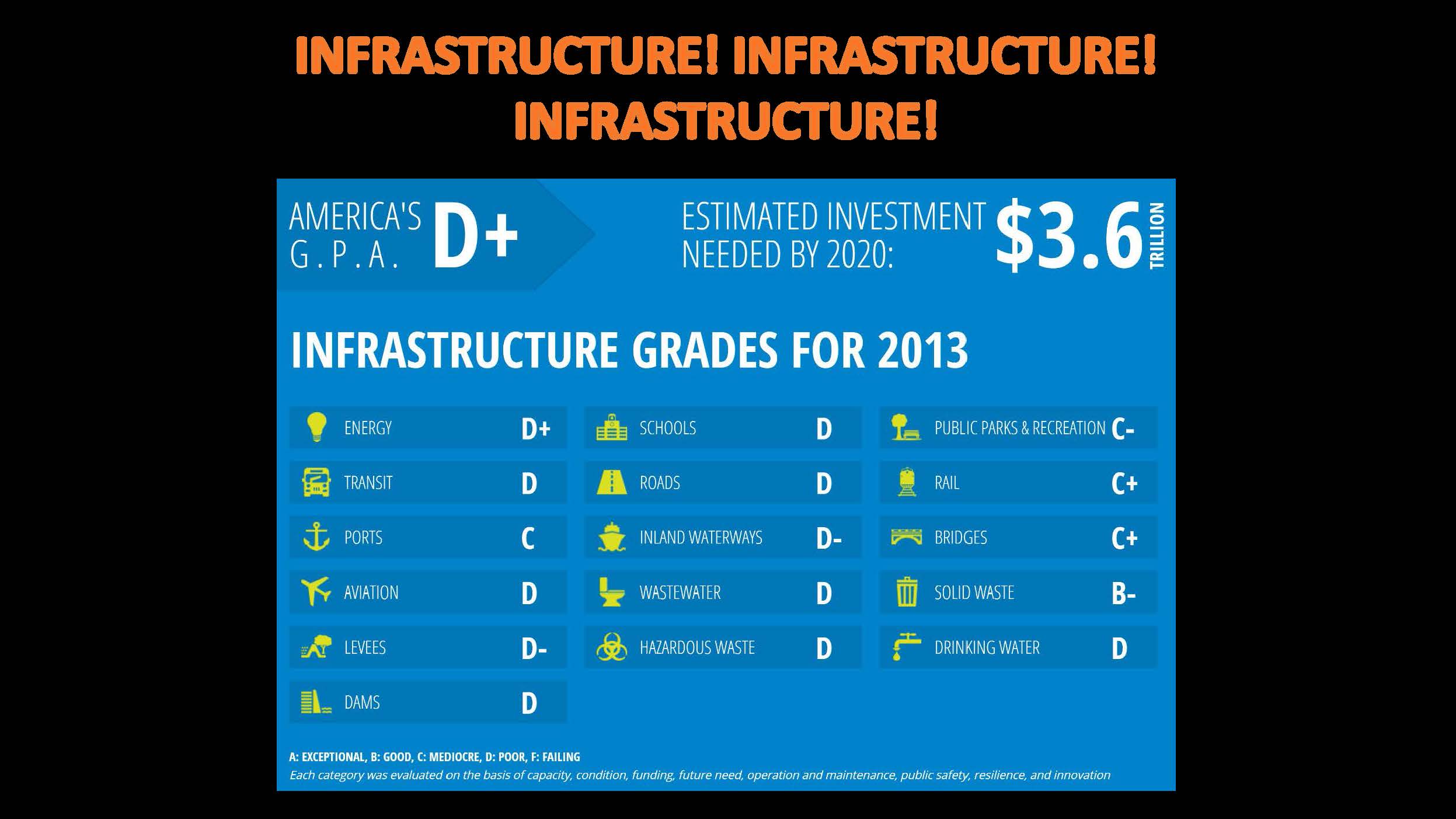
Accurate underground digital mapping by Geospatial will drive value in the following markets:
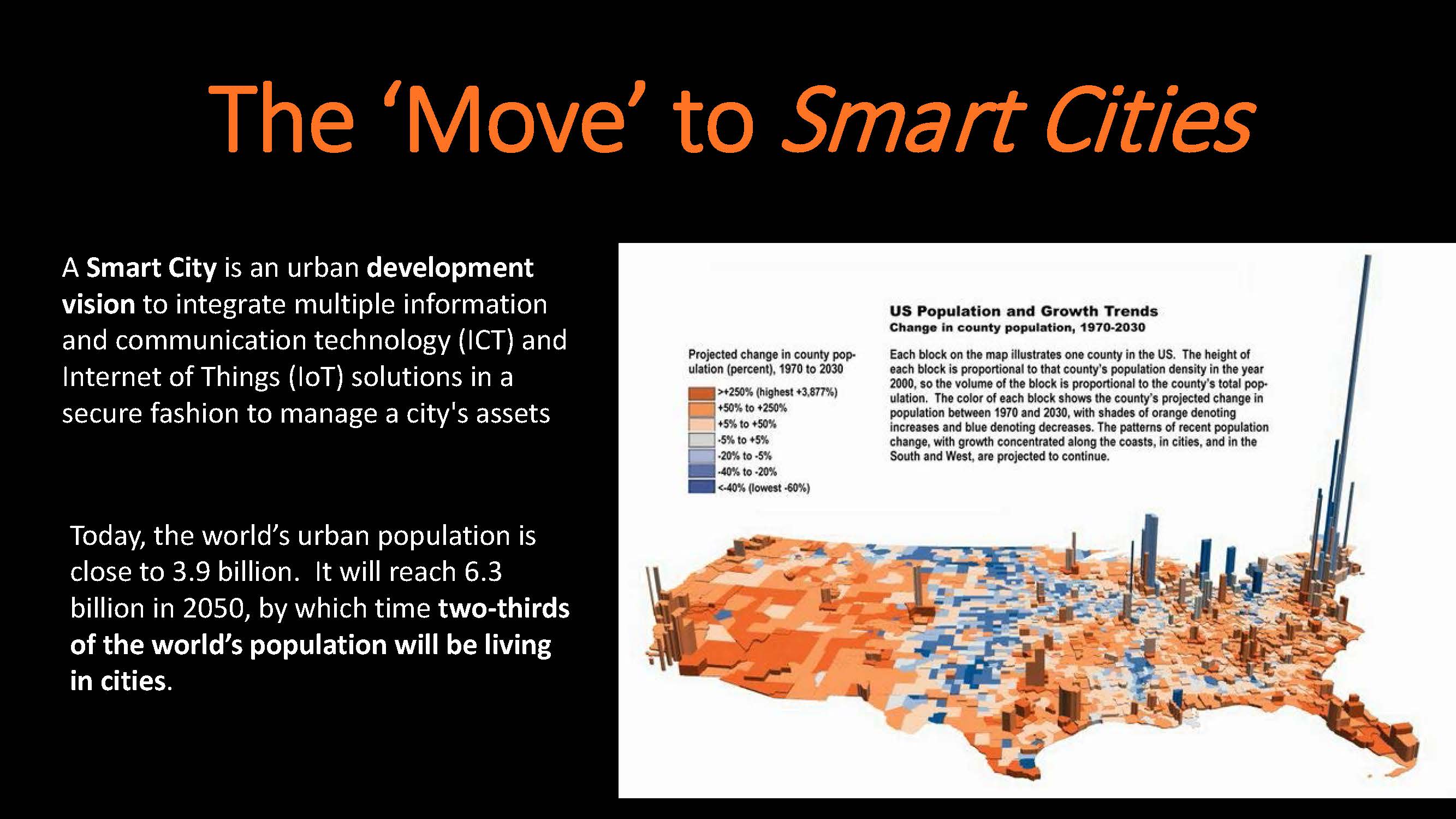
| v | Smart Cities Planning and Development |
| v | Secure, Intuitive Google Maps Platform in GeoUnderground |
| v | Un-Manned Aerial Vehicles Various Sensor and Data Platforms |
| v | Autonomous Underground Excavation Capabilities |
| v | Low Altitude Satellite Sensor Platforms |
| v | Expanded Internet – Global Accessibility |
| v | Data Leasing Private Public Partnerships (PPP) |
| v | Big Data Management/with Cloud Capabilities |
| v | Building Information Management (BIM) Underground Infrastructure Integration |
| v | Increasing Regulatory Environment |
| v | Autonomous Underground Excavation Capabilities |
Geospatial’s Global Markets
| Energy: Oil & Gas, Transportation & Distribution and Facilities | Government/Homeland Security | |
| * Strategic planning & infrastructure management | * Strategic planning & infrastructure management | |
| * Document management solution | * Document management solution | |
| * Operations analysis | * Operations analysis | |
| * Emergency planning & response | * Emergency planning & response | |
| * Integrate with departmental or agency applications | * Integrate with departmental or agency applications | |
| * Geospatial and Mapping Solutions | * Geospatial and Mapping Solutions | |
| * Mobility | * Terrorism | |
| * Smart Grid | ||
| * Big Data Analytics | Universities, Healthcare & Institutional Sectors | |
| * Terrorism | * Strategic planning & infrastructure management | |
| * Market demand analysis | ||
| Municipal Utilities– Electric, Gas, Water, Telecom & Sewer: | * Capital planning | |
| * Strategic planning & infrastructure management | * Operations analysis | |
| * Document management solution | * Emergency planning & response | |
| * Operations analysis | ||
| * Emergency planning &response | Insurance & Risk Mitigation | |
| * Integrate with departmental or agency applications | * Accurate 3D location & mapping of underground & underwater pipelines/cables | |
| * Geospatial and Mapping Solutions | * Customer historical records management | |
| * Mobility | * Quality Assurance for conventional and HDD pipeline installations | |
| * Smart Grid | * Strategic planning | |
| * Big Data Analytics | * Asset management | |
| * Terrorism | * Risk and Disaster Management Services | |
| * Big Data Analytics |
Forward Looking Statements
This press release contains forward-looking information within the meaning of the Private Securities Litigation Reform Act of 1995, Section 27A of the Securities Act of 1993 and Section 21E of the Securities Exchange Act of 1934 and is subject to the safe harbor created by those laws. These forward-looking statements, if any, are based upon a number of assumptions and estimates that are subject to significant uncertainties that involve known and unknown risks, many of which are beyond our control and are not guarantees of future performance. Actual outcomes and results could materially differ from what is expressed, implied, or forecasted in any such forward-looking statements and any such difference may be caused by risk factors listed from time to time in the Company’s news releases and/or its filings or as a result of other factors.
Geospatial Corporation delivers Locational 3D Data, Information Technology, Software and Program Management Services that provide a scalable solution to improve our clients’ ability to securely, accurately and economically map and manage our global underground infrastructure including energy pipelines, sewers, water lines, conduits, and cables.
| Mark Smith/CEO | Troy Taggart/President |
| Mark.Smith@GeospatialCorp.com | Troy.Taggart@GeospatialCorp.com |
| M: 724-994-8055 | Mobile: 703-371-6655 |
| O: 724-353-3400 | O: 724-353-3400 |